Top Cycling Trails in Montenegro
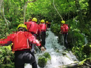
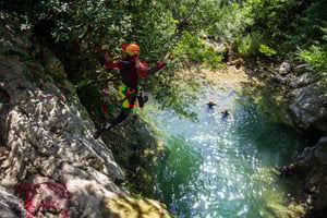
Adventure Sports Top 10
Book Top Experiences and Tours in Montenegro:
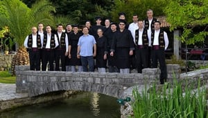
If youʻre booking your trip to Montenegro last minute, we have you covered. Below are some of the top tours and experiences!- GEA Retreat Montenegro
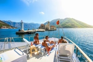
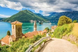
- Kotor Bay: Full-Day Catamaran Cruise with Blue Cave Visit
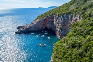
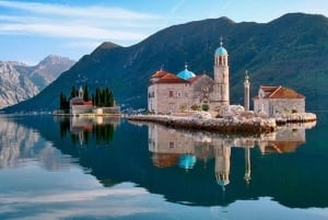
- Kotor: Blue Cave and Our Lady of the Rocks Group Boat Tour
- From Dubrovnik: Private Full-Day Tour to Montenegro
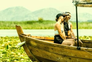
- Skadar Lake National Park: Guided Boat Tour to Kom Monastery
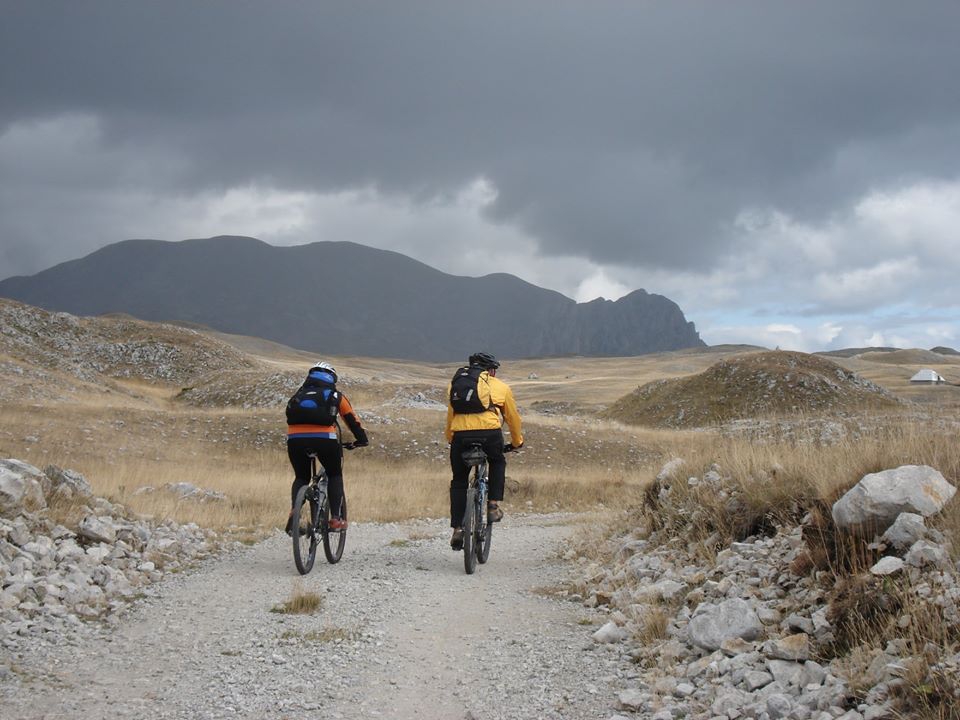
One of the most enjoyable ways to explore Montenegro for lovers of outdoor activities is by cycling. Some of the adventurers who have experienced Montenegro through cycling, describe this experience as a trip into the unknown because the challenging geographical configuration of the country frightens and delights at the same time. Currently, there are 17 cycle routes all around Montenegro, which include bike riding, mountain riding, and bicycle touring. Trails are categorised as national, regional, and local, but you have options as panoramic roads and cultural routes. Although all of the trails have been marked, it is strongly recommended not to start your adventure without GPS track-logs. You should also carry a map and compass if you donât have a GPS device, a mobile phone, a flashlight, a basic bicycle tool, and a spare tyre.
We present you the list of the top 5 national cycling trails in Montenegro.
We present you the list of the top 5 national cycling trails in Montenegro.
Top Trail 1 Salty and Sweet
This cycling trail must be one of the hardest and the most magnificent national cycling trails, as it gives an indescribable adventure through the whole of Montenegro, starting from the south and going to the north and back. The whole track is 630 km long in total, and to master it completely, in addition to good physical condition, takes more than goodwill and spirits since this is not a path that can be done in one day but the regions and the areas you will see, will not cease to inspire you during the whole trip. The tour can be crossed with a load on a bicycle (camping equipment, etc.) and due to the remoteness of many sections, it is recommended to ride in company. The trial is divided into several parts, namely:
Herceg Novi-Orijen: here you are already at the beginning of an "epic" ascent, because you climb from sea level to 1600 m above sea level, on Mount Orijen. It is hard work, but it's best not to think much about miles and heights, rather think about the great scenes along the way;
Orijen - Grahovo - Niksic: here you will have the opportunity to pass through places such as Crkvice, Risan, Grahovo to Niksic, the second-largest city in Montenegro;
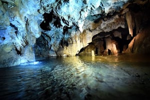
Niksic - Pluzine; Pluzine - Trsa - Susica River Canyon - Zabljak: from here you will already start to enjoy the natural beauties of northern Montenegro, which include places like Trsa, the canyon of the river Susica, the village of Mala Crna Gora and it continues until the next part of the route;
Zabljak - Sinjajevina - Dolina Lipova - Kolasin: on the route from Zabljak to Kolasin the most exciting impression on you will be left by the mountain Sinjajevina, the so-called "Montenegrin Tibet.";
Kolasin - Prekornica - Danilovgrad: from Kolasin, the road continues following the right bank of the river Tara, the tear of Europe;
Danilovgrad -Cevo - Cetinje - Lovcen - Krstac - Kotor: From Danilovgrad the road continues to the southwest, and this is the beginning of the ascent to Cevo, which is at the same time the beginning of the journey through "old Montenegro", Katunska Nahija - to Cetinje and Lovcen, where you will feel the spirit of authentic Montenegro;
Kotor - Perast - Donji Morinj - Herceg Novi: from here, the way back slowly begins, passing through the Bay of Kotor, and its magnificent cities, Kotor, Perast, Morinj, all the way to the initial route of Herceg Novi.
photo from pedalaj.me | Made by NTO
Top Trails 2 Discoveries in the North
This route is 390 kilometres long and will introduce you to the charms of the north. In addition to the epic ascent to the clouds, the highest roads in Montenegro, driving through the peaks of the mountains Durmitor and Bjelasica, you will also have the opportunity to get to know Montenegrin villages, bridges, monasteries... The route is fully marked with signposts but is strongly recommended to download the GPS data, tracklogs and waypoints, which will make navigation on the route easier and safer. This trail consists of the following routes:
Niksic - Golija - Piva River Canyon - Komarnica - Duzi - Sedlo - Zabljak (149km)
The road starts from Niksic, across Mountain Golija to Zabljak. In addition to the large number of local villages on this road, the Nevidio Canyon, as natives of this area call it since the sun never reaches many of its sections, will take your breath away.
Zabljak - Djurdjevica Tara - Kosanica - Tomasevo - Bijelo Polje (95km)
From Zabljak, while heading east, you will come along to the city of Pljevlja and Djurdjevica Tara Bridge. That road then winds over the green plateau of the Mountain Durmitor, before colliding with the charming Tara River Canyon.
Bijelo Polje - Ravna Rijeka - Bjelasica - Kolasin (56km)
In Bijelo Polje, you'll get familiar with the typical landscape of the Mountain Bjelasica, which includes wide pastures and meadows, as well as several magnificent peaks and lakes.
Kolasin - Crkvine - Prekornica - Maganik - Morakovo - Niksic (90km)
Here, from Kolasin, there is a wonderful view of the Moraca Mountains, and after a steep descent in the Moraca canyon, you reach the Monastery. Going through Moraca, and through numerous forests and ascents over Maganik and Morakovo, you reach Niksic.
photo from pedalaj.me | Made by NTO
Top Trail 3 Magical East
This 300 kilometres bicycle route will introduce you to the magical east of Montenegro, which is bordered by Bjelasica Mountain and the town of Mojkovac on the northwest, on the southwest by Mountain Komovi; on the south by Plav Valley, Plav Lake, Hrid Lake and Albanian border; on the east and northeast by mountain Hajla, the border with Kosovo and the town of Rozaje, and in the north is bordered by the city of Berane. As described by the visitors, this is an empire in which heights and distant vistas intertwine with mysterious forests and valleys, and landscapes change and differ as if they are hundreds of kilometres away.
For more magnificent pleasure, for passing through this region, it is recommended to follow the local lanes through Andrijevica, Berane, Bijelo Polje, Mojkovac, Kolasin, Plav and Gusinje, Pluzine, and Pljevlja.
photo from pedalaj.me | Made by Thorsten Broenner
Top Trail 4 Endless Landscapes
This route starts from Podgorica, Montenegrin capital and it covers the splendid 415 km of Montenegrin landscapes. With nice weather and the necessary equipment, you can count on endless hospitality at almost every step in the katuns and villages.
Podgorica - Danilovgrad - Prekorinica-Vucje (101km)
The first 100 kilometres of this route take place on the route Podgorica - Danilovgrad to Vucje, where you can get to know the cities and their surrounding places and settlements a little better. One of the main attractions on this road is certainly the Ostrog Monastery, whose building, built into a cliff high above the valley, can be reached by an excellent new road.
Vucje - Lola - Boan - Savnik - Nevidio - Duzi -Sedlo - Zabljak (146km)
The road from Niksic to the villages of Lola, Boan, and Savnik is a path full of up-hills and downhills, which partly consist of macadam. When you reach Savnik, some 14 kilometres of the next road coincides with the route of the previous path mentioned, and includes the canyon of the river Komarnica, and the canyon Nevidio, until you reach Zabljak and the pass Sedlo.
Zabljak - Njegovudja - Sinjajevina - Vratlo - Lipovo - Kolasin (78km)
From Zabljak, keep going to the east, along the asphalt road to Djurdjevica Tara and Pljevlja, where the traffic can be more intense in the peak of the tourist season. You reach the crossroads for the village of Njegovudja, which leads to the green pastures of the gigantic mountain Sinjajevina, which makes up the next 50 kilometres of the road. A suggestion for a detour is going to Zminje Lake, the hidden pearl of Sinjavina.
Kolasin - Matesevo - Verusa - Rikavac Lake - Korita - Medun - Podgorica (90km)
From Kolasin, the road continues towards Matesevo, along a quiet road, and with good asphalt. Here you will meet the rivers Verusa and Opasanica, where they merge and form the river, Tara. Both spring from Kucki Komovi, which is part of the Dinaric Alps of Montenegro. Verusa is also the name for a weekend resort, from where you can reach Lake Rikavac. There are also a large number of katuns in this region. Before the final descent to Podgorica, you shall pass through the ancient city of Medun.
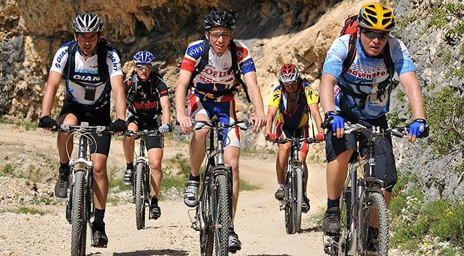
photo from pedalaj.me | Made by NTO
Top Trail 5 The Stories by the Water
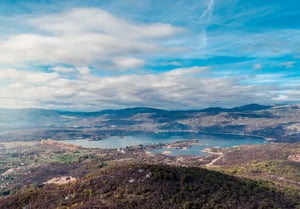
Along this route, you will enjoy the beauties of the southernmost fiord of Europe, the largest lake in the Balkans and the oldest olive tree in Europe. The route is long 237 kilometres, and it covers the cities of Cetinje, Virpazar, Bar, and Ulcinj.
Cetinje - Rijeka Crnojevica - Virpazar (39km)
From the exit from Cetinje, the cultural and historical capital of Montenegro, a steep road leads to the Crnojevica River, a remote place that once used to be the largest port and trading centre of Montenegro. From here, there is a magnificent view of Skadar Lake.
Virpazar - Ostros - Ulcinj - Ada Bojana - Ulcinj (100km)
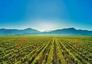
Virpazar lies in the fertile Crmnica field and Crmnica is best known for the Vranac wine, which is one of the most prized wines in the world. It should be borne in mind that this road is very narrow and winding, and one should be very careful especially on the downhills while driving right next to the magnificent Skadar Lake. The lake is the youngest and at the same time the largest natural freshwater reserve in Europe.
Ulcinj - Stari Bar - Rumija - Virpazar (61km)
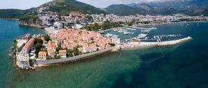
Ulcinj, as one of the passing locations, is the southernmost town on the Montenegrin coast. Here is also Ada Bojana, where the river Bojana flows into the Adriatic Sea. From Ulcinj, the trail leads to the road of the Old city of Bar, where the oldest olive tree in Europe is located. From here, the road continues to the mountain Rumija.
Virpazar - Cetinje (37km)
From Virpazar, taking the main road Podgorica - Bar, there is a pass through the villages Brceli and Gradjani, until the River Crnojevica is reached again, from where return to Cetinje starts, the initial point of the trail.
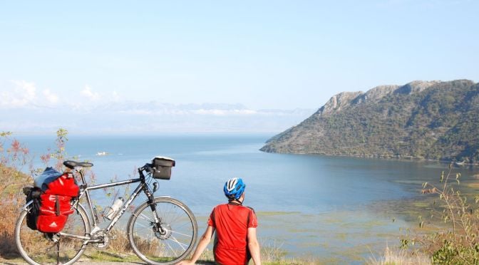
photo from pedalaj.me | Made by Thorsten Broenner
***