Hiking Orijen - Lovcen - Rumija
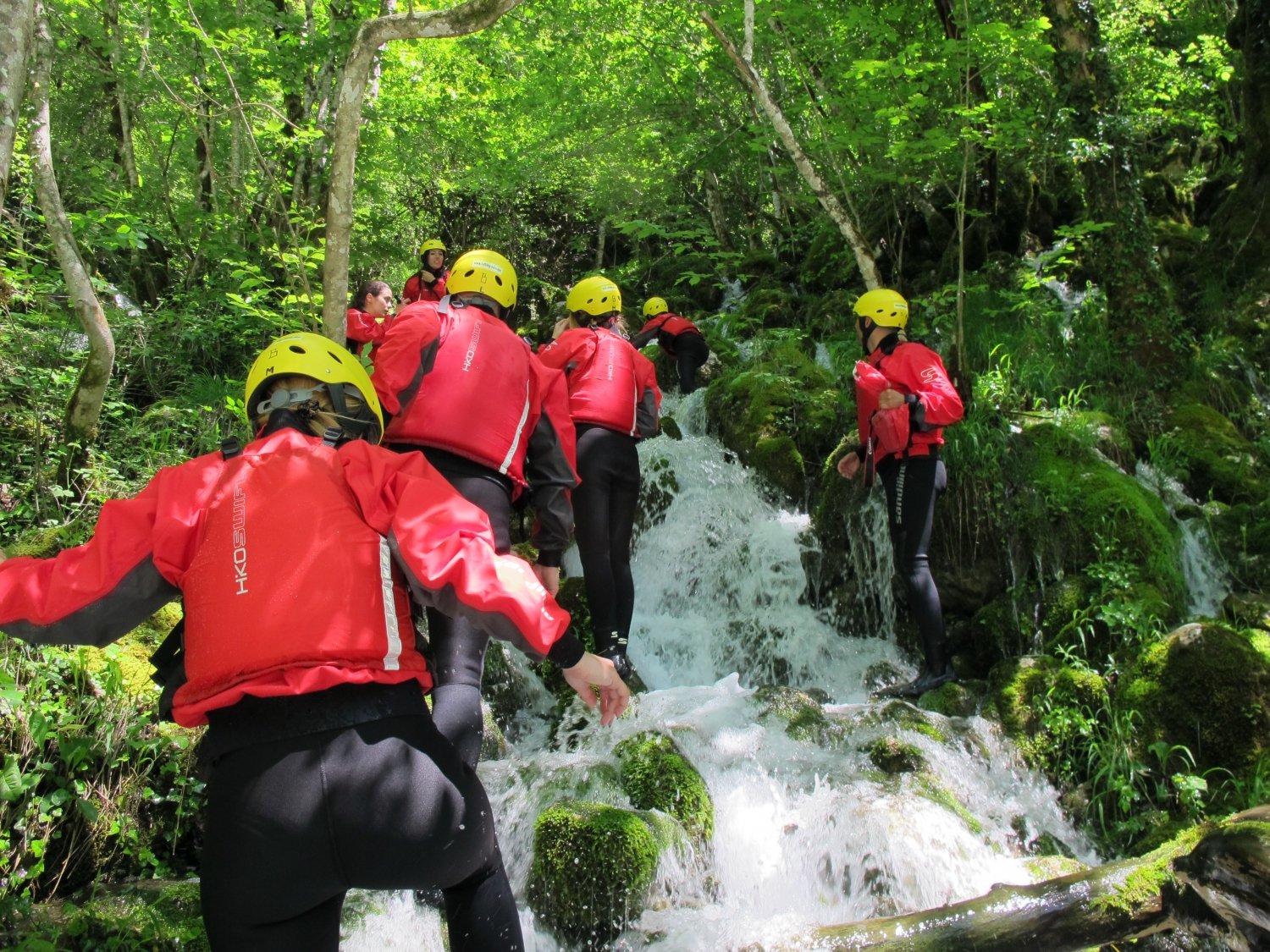
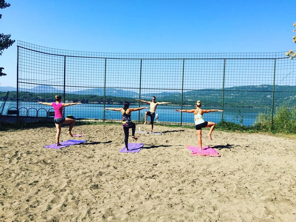
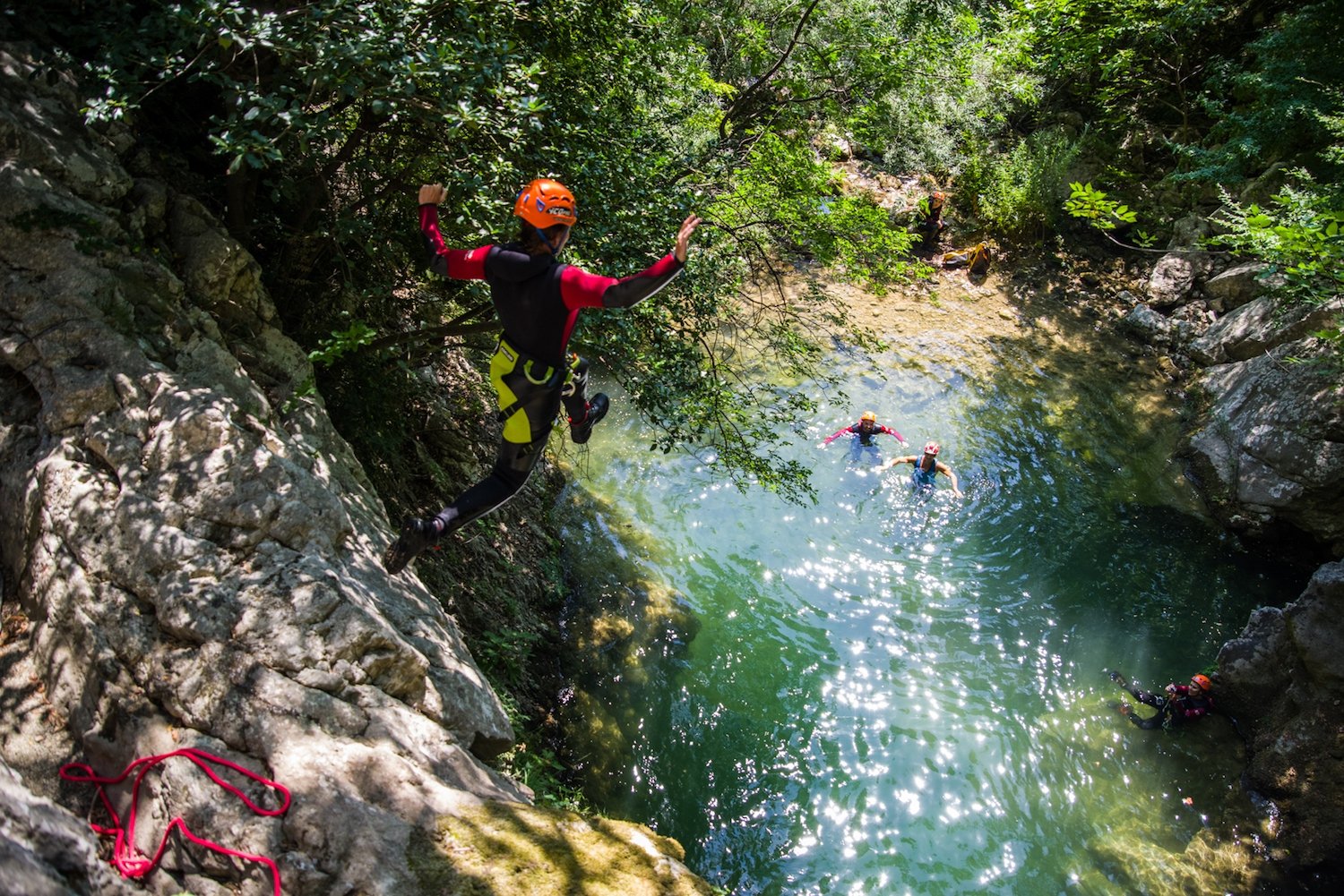
Adventure Mini Break Sports
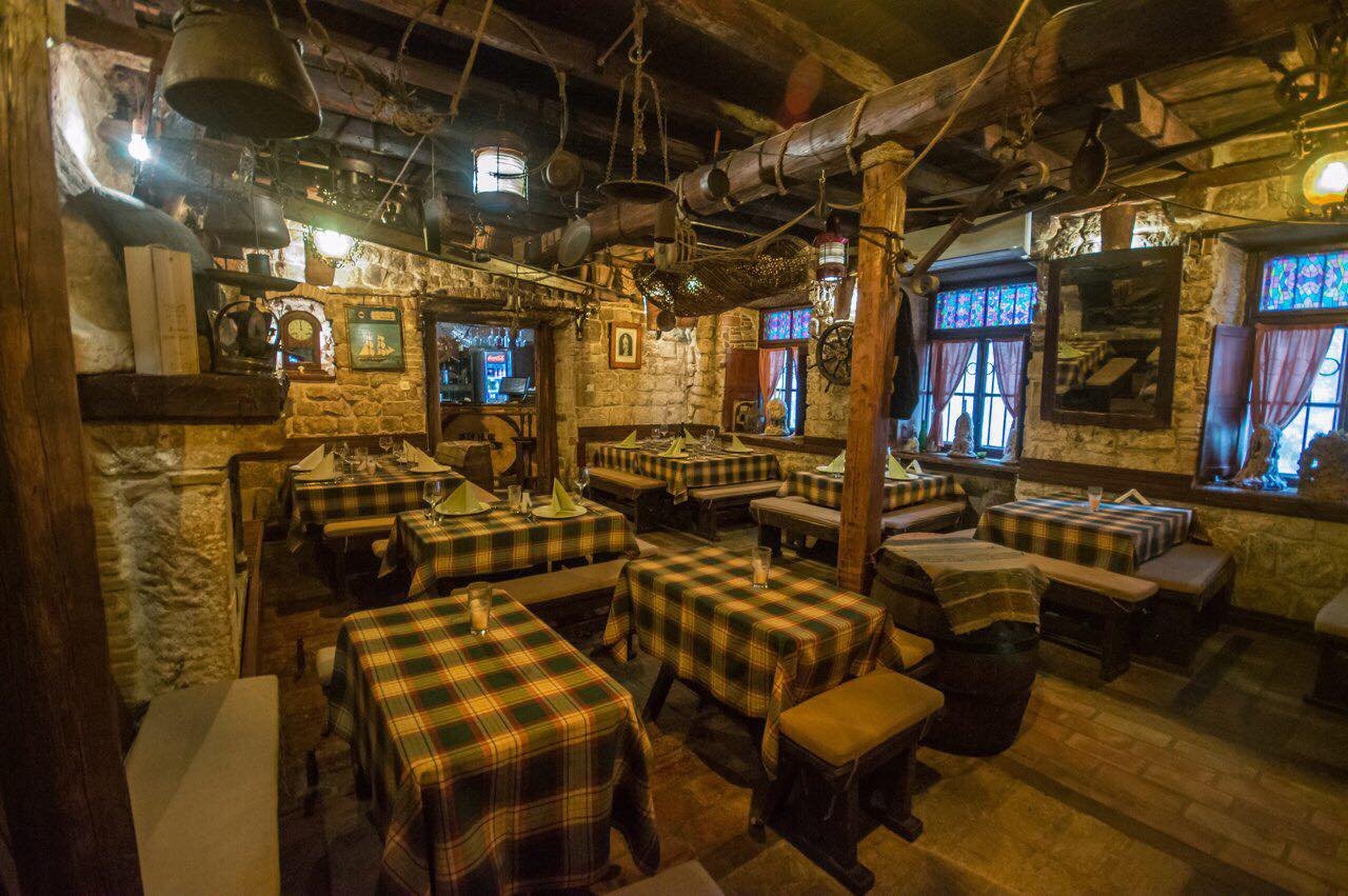
Book Top Experiences and Tours in Montenegro:
If youʻre booking your trip to Montenegro last minute, we have you covered. Below are some of the top tours and experiences!- From Dubrovnik: Montenegro Day Trip
- Montenegro: Durmitor, Tara & Ostrog Monastery Day Trip
- From Dubrovnik: Private Full-Day Tour to Montenegro
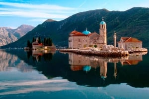
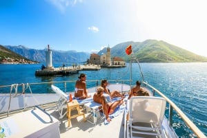
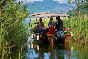
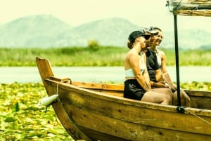
- Lake Skadar: Guided Panoramic Boat Tour to Kom Monastery
- From Tirana or Durres: Private Transfer to Budva & Kotor
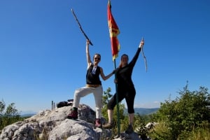
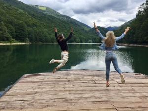
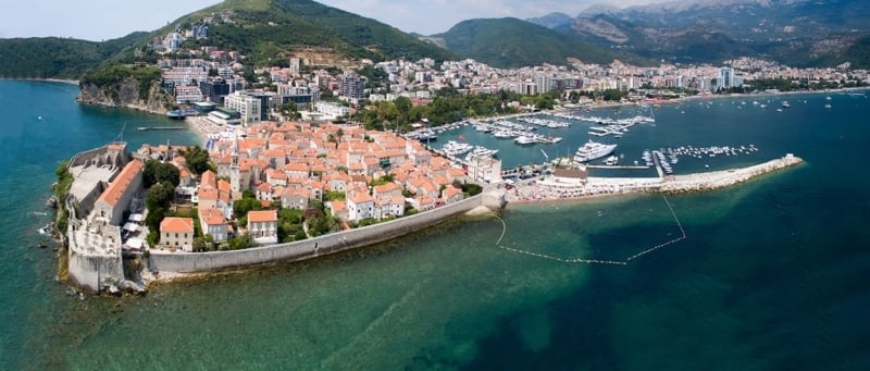
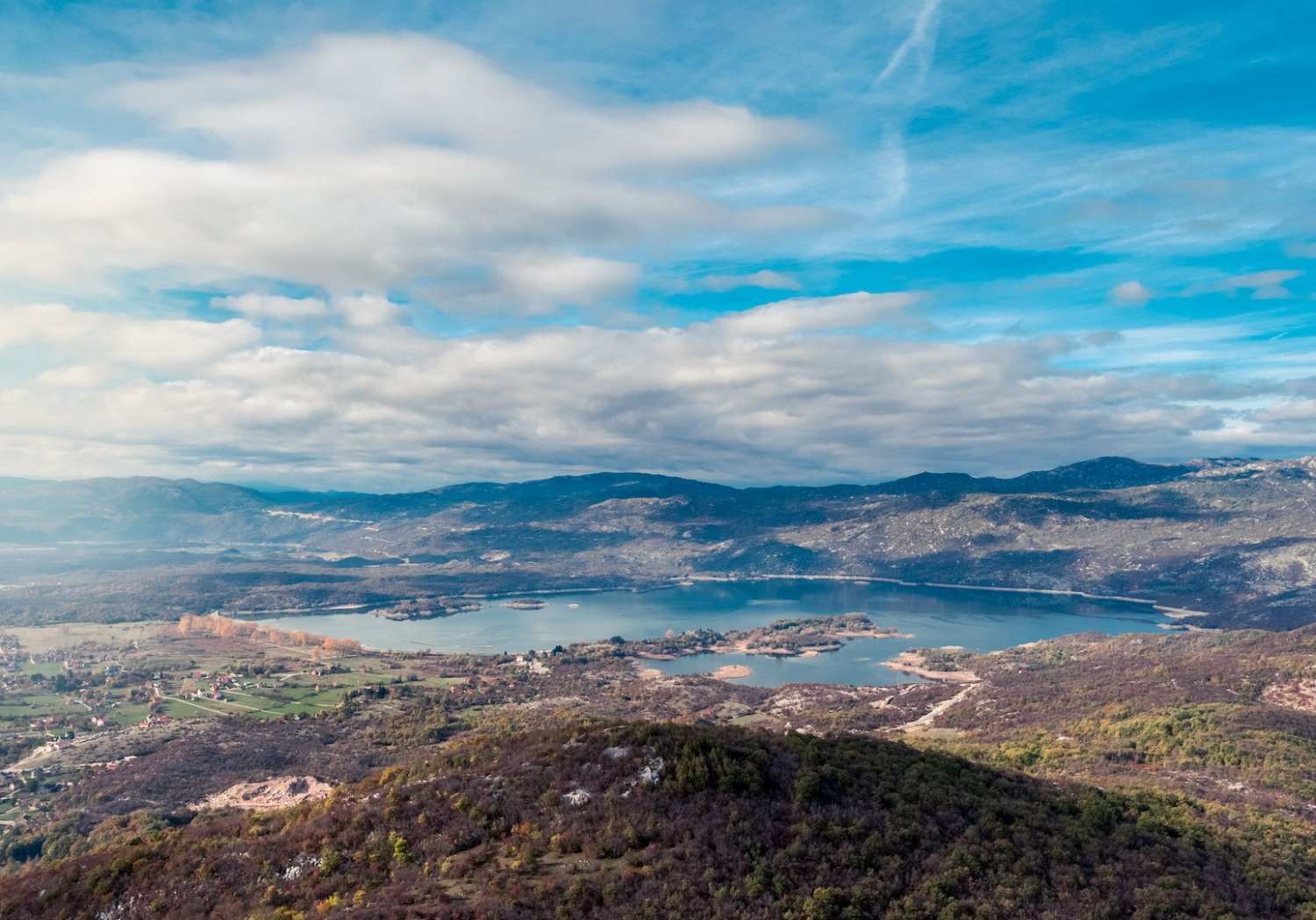
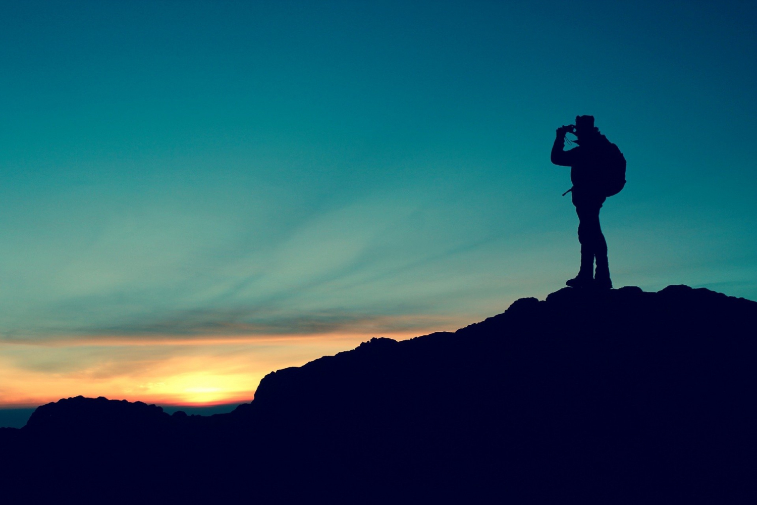
Hiking trail Orijen-Lovcen-Rumija, more popular as the Coast-Mountain Transversal (primorsko-planinarska transverzala) or PPT, is one of the hiking trails in Montenegro going through the Dinaric Alps in Montenegro. Together with Crnomorska Transversala (CT1), this is one of the two long-distance trails in Montenegro. Its total length is around 180 km, and it takes about ten days (approximately) to finish this hike, which can be walked in both directions. The trail stretches from the south of Bar to the north of Herceg Novi, and it connects three important mountain massifs on the coast Orijen, Lovcen and Rumija.
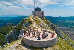
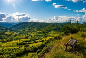
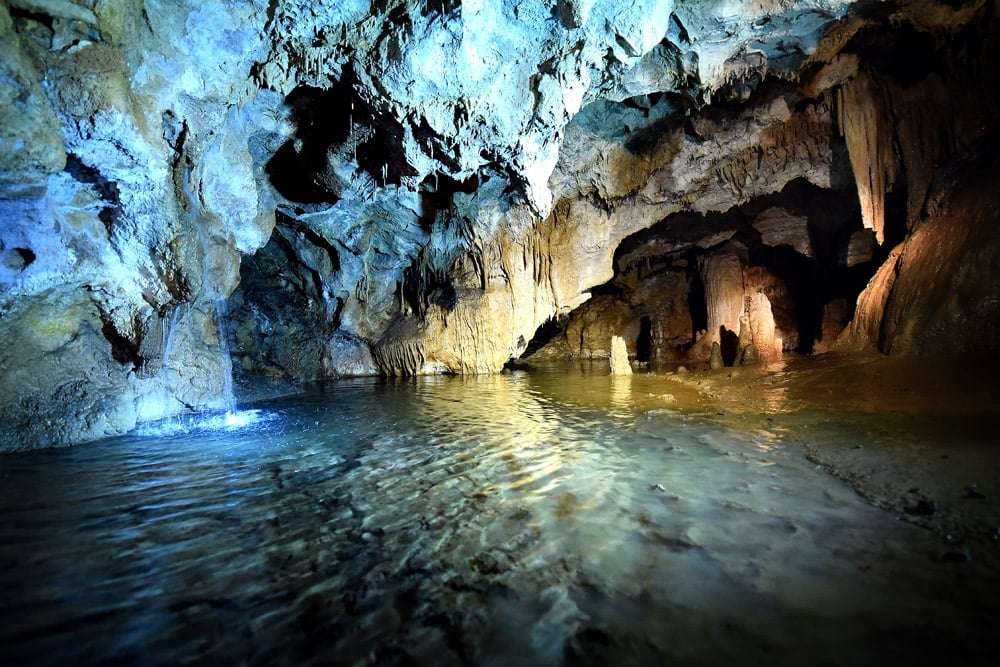
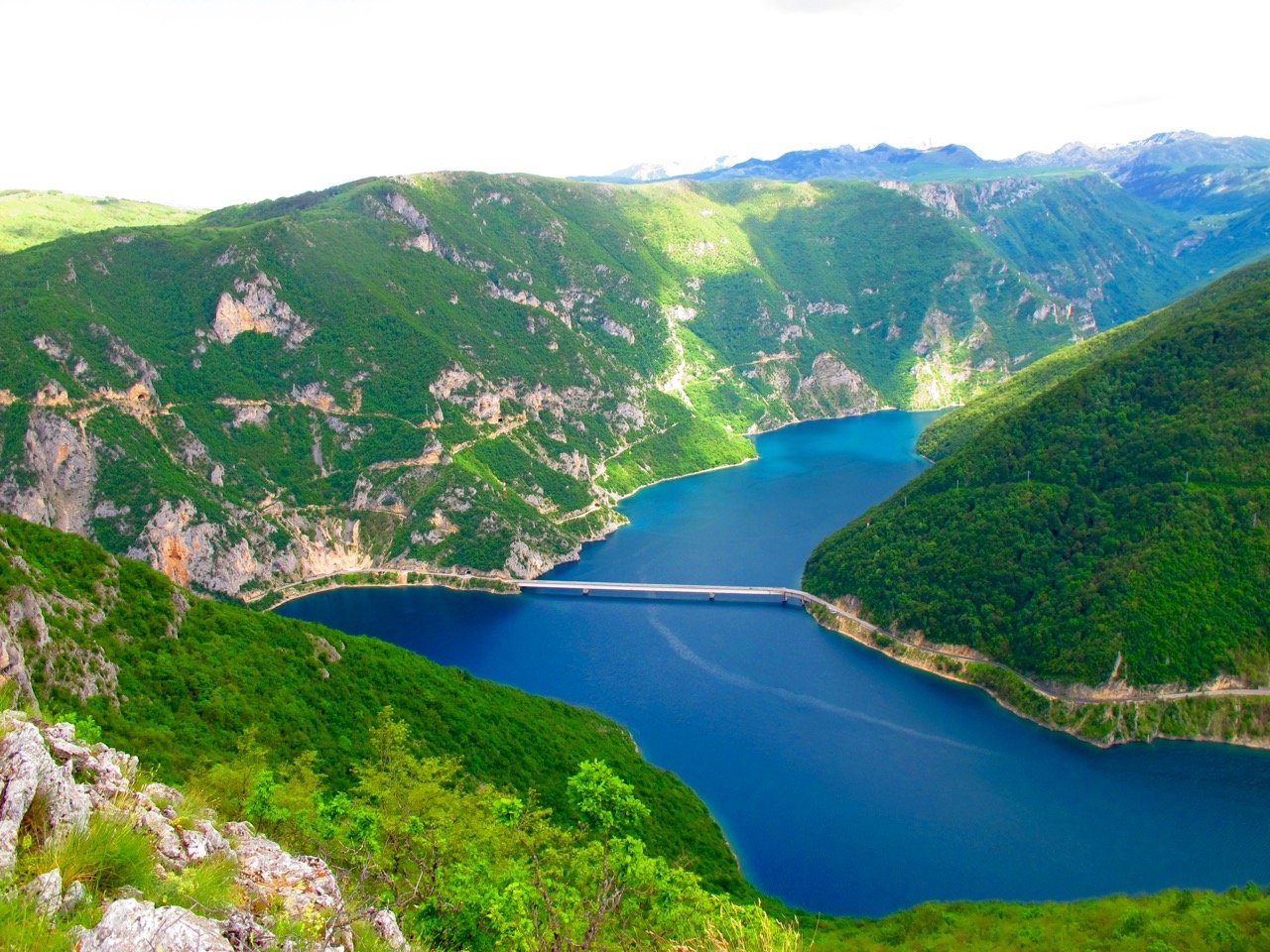
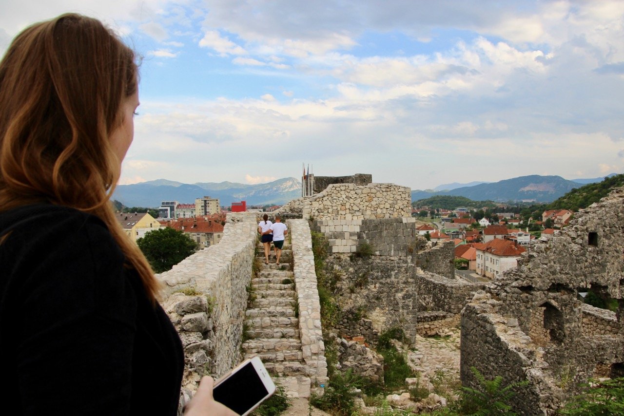
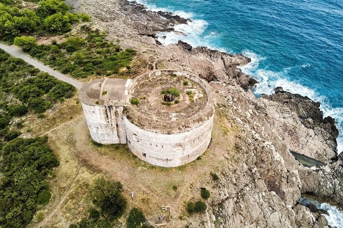
Along this trail, you will encounter many historical, cultural, and natural attractions. The highest peak of LovÄen mountain, Jezerski Vrh (1657 m), stands out as the main attraction. This Mausoleum is a place where the Montenegrin Duke NjegoÅ¡ grave is located, at the top of 461 concrete steps. While still alive, NjegoÅ¡ built a chapel here on Jezerski Vrh, where he demanded to be buried after he dies. Amongst other are the peaks of Rumija (1595 m), and ZubaÄki Kabao (1894 m) on Orjen massif, known as the highest peak of Eastern Adriatic.
This trail is divided into ten stages. It starts from Bar to Rumija Massif, over Sutorman pass, LovaÄki dom, BrajiÄi, Ivanova Korita, Velji Zalazi, Tvrdjava Sveti Andrija, over Crkvice to Vrbajn and slowly descending to Herceg Novi. Here you can find the map, described in detail.
Experienced hikers recommend September as the best time of the year to go for this hike since the hot summer temperatures are slowly decreasing, and there will be no snow as it might occur in the early winter or early spring. Still, you should be prepared for unexpected rain because the weather varies at the summer-autumn gradation. Equipment-wise, you should bring long pants, long-sleeved shirts, and sunscreen as a must-have, both because of the wind and the sun. Due to the karst configuration of the terrain, very few water springs are available, so be sure to have enough supplies of water and food as well.
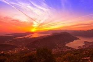
The marking on the entire transversal is excellent with a few exceptions, and you can use topo maps from the guide only for information. Nevertheless, having GPS is highly recommended. The Orjen-Lovcen-Rumija trail is one of the most challenging and physically draining trails you will have the chance to explore. But it is worth all the trouble! The stunning sceneries and sightseeing will leave you astounded, which will make you forget all the fatigue and exhaustion.